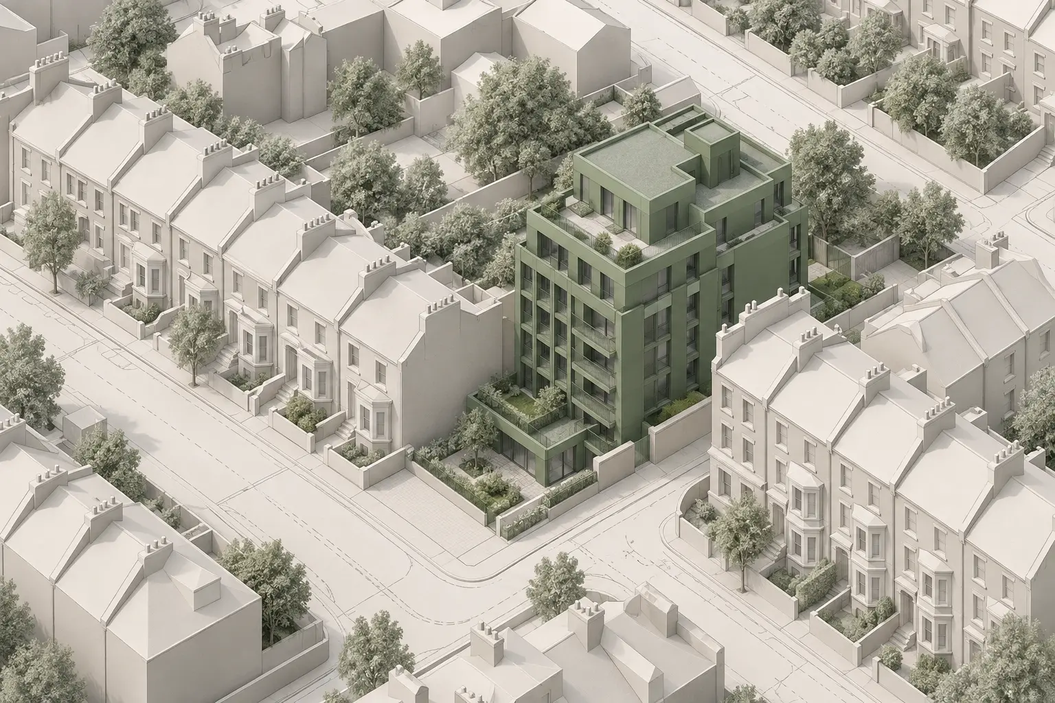
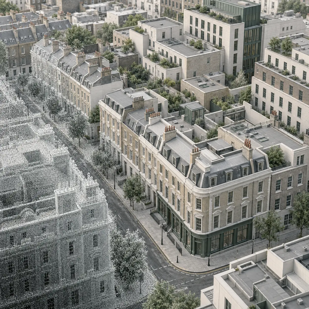
Existing buildings, proposed schemes and surrounding context are brought together in a structured 3D model for the agreed planning or technical workflow.
CAD Services Studio coordinates architectural drawings, survey information and contextual data to create clear existing and proposed conditions. Models can be updated as the design develops and prepared for agreed downstream analysis.
The service provides technical modelling support. Architectural design responsibility, planning strategy and professional planning judgement remain with the appointed project team.
Who this service supports
Architects and architectural teams
Planning consultants
Chartered surveyors
Developers and project managers
Daylight, Sunlight and Rights of Light teams
Multidisciplinary consultancy teams
Illustrative anonymised technical visualisation.
Typical project inputs
Architectural information, survey data and a defined model brief.
Existing measured survey or point-cloud information
Proposed plans, elevations and sections
Topographical or contextual survey information
Relevant planning drawings
Site boundaries and project coordinates
Defined existing and proposed conditions
Required context and model extent
Design revisions
Intended downstream use and output requirements
What we do
Coordinate existing, proposed and contextual geometry.
Review architectural and survey information
Confirm model scope and intended use
Prepare existing-building geometry
Model proposed-development geometry
Develop surrounding urban context as agreed
Coordinate levels, site position and key references
Incorporate agreed design revisions
Prepare analysis-ready geometry where requested
Outputs & deliverables
Coordinated geometry ready for planning-stage collaboration.
The required model content is agreed around the planning, design or analytical task so existing, proposed and contextual information remains clear and usable.
Existing-condition 3D model
Proposed-development 3D model
Surrounding context and massing geometry
Coordinated site levels and project position
Planning-support geometry
Analysis-ready geometry where included
DWG/CAD deliverables
PDF technical outputs where applicable
Agreed native or exchange formats
Workflow
A coordinated route from project information to planning-ready geometry.
Review the briefCheck the planning purpose, available information and project programme.
Agree the model scopeDefine existing, proposed and context extents, detail and required outputs.
Coordinate the sourcesResolve project position, levels and the relationship between survey and design data.
Build the conditionsPrepare the agreed existing, proposed and surrounding context geometry.
Review revisionsCoordinate design changes and record relevant assumptions or source conflicts.
Prepare deliveryIssue the model for the agreed planning, design or analytical workflow.
Downstream file compatibility and analytical requirements
CAD Services Studio provides technical 3D modelling and coordination. The appointed architect, planning consultant and wider project team retain responsibility for design, planning strategy, policy interpretation and professional planning advice.
Related case study · Project 01
Urban Context Modelling
Complex survey information interpreted and prepared as accurate urban geometry for coordinated planning and downstream technical use.
What information is needed to prepare a planning model?
The project normally requires existing survey information, proposed architectural drawings, relevant context data, the required model extent and a clear description of its intended use.
Can existing and proposed conditions be modelled separately?
Yes. Existing and proposed geometry can be organised as separate coordinated conditions so that design changes and technical comparisons can be managed clearly.
Can the model be updated when the scheme changes?
Yes. Design revisions can be incorporated by agreement, with the scope and programme reviewed against the scale of each change.
Can surrounding buildings and site context be included?
Yes. The required context extent and level of detail are agreed according to the planning, visual or analytical purpose of the model.
Can the geometry be prepared for environmental analysis?
Yes. Where included in the agreed scope, the geometry can be coordinated and prepared for downstream Daylight, Sunlight, SHOG or Rights of Light workflows.
Does this service include planning advice?
No. CAD Services Studio provides technical modelling and drawing support. Planning strategy, policy interpretation and professional planning advice remain with the appointed planning team.