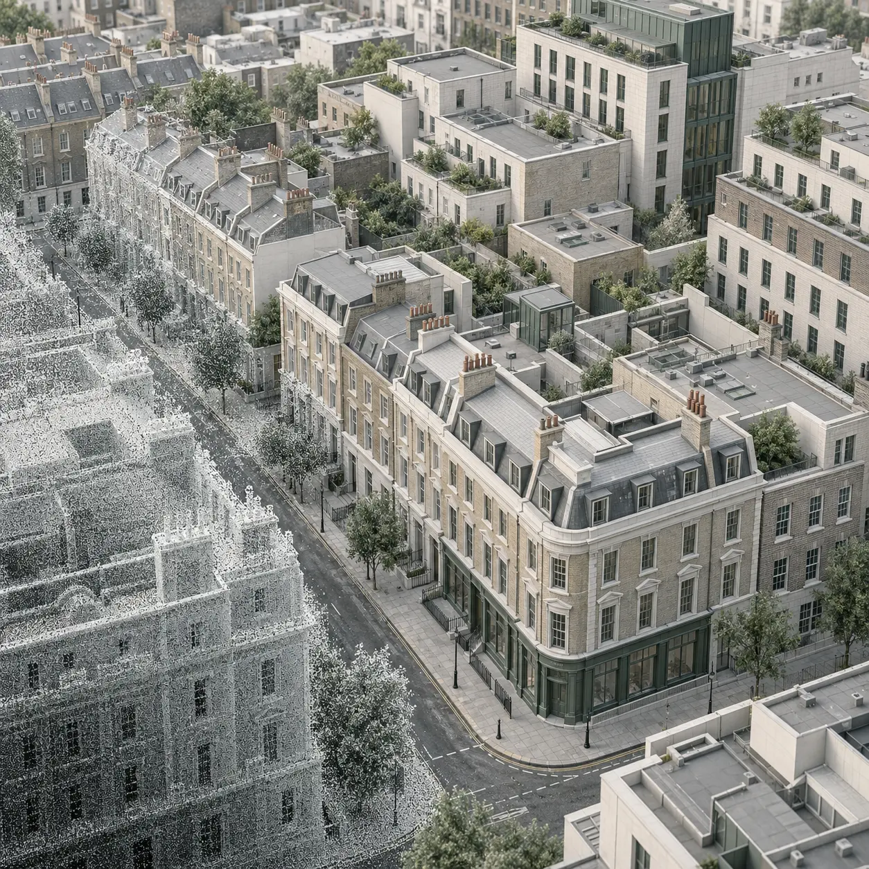
A detailed 3D model was developed from point-cloud survey data to support technical analysis within a dense urban environment.
The work required careful interpretation of complex surrounding context and constrained site conditions. Survey-based geometry was prepared in AutoCAD and coordinated for an MBS-compatible downstream workflow.
Project challenge
Resolving dense urban context from survey information.
The model needed to represent numerous adjoining buildings, roofs, façades and openings with sufficient clarity for reliable analysis while remaining proportionate to the intended use.
Typical inputs
Coordinated source information.
Registered terrestrial and drone point-cloud data
Topographical and supporting survey information
Defined modelling extents
Project coordinate and level information
Downstream analytical requirements
Technical workflow
From source cloud to analysis-ready urban geometry.
Review survey dataAssess coverage, coordinates, building context and source limitations.
Define model scopeConfirm relevant buildings, façades, roofs, windows and site extents.
Interpret the cloudResolve measured geometry across the dense urban context.
Build the modelCreate coordinated AutoCAD 3D solids shaped around the analytical brief.
Check geometryCompare the model with the supplied point cloud and supporting information.
Prepare deliveryIssue structured geometry compatible with the agreed downstream workflow.
Technical scope
Survey-based urban modelling.
Point-cloud interpretation
Complex urban context modelling
AutoCAD 3D solid geometry
Façade, roof and opening preparation
Survey-based geometric checking
MBS workflow compatibility
Outputs & deliverables
Geometry ready for coordinated use.
Analysis-ready three-dimensional model
Existing urban context geometry
DWG/CAD deliverables
MBS-compatible or agreed model files
Recorded modelling observations where applicable
Agreed native or exchange formats
Outcome
Reliable geometry for a complex urban setting.
Delivered a reliable and contextually accurate 3D model enabling robust analysis within a complex urban setting.