Registered point-cloud and measured survey information is interpreted to produce coordinated two-dimensional drawings shaped around the project brief.
CAD Services Studio prepares plans, elevations and sections from client-supplied survey data, with drawing extent, scale, layering and required detail agreed before production begins.
This service concerns two-dimensional CAD outputs. Projects requiring coordinated three-dimensional geometry fall within the separate Point Cloud to 3D Modelling service.
Who this service supports
Measured-building survey companies
Laser-scanning companies
Architects and architectural teams
Chartered surveyors
Planning and property consultancies
Technical project teams
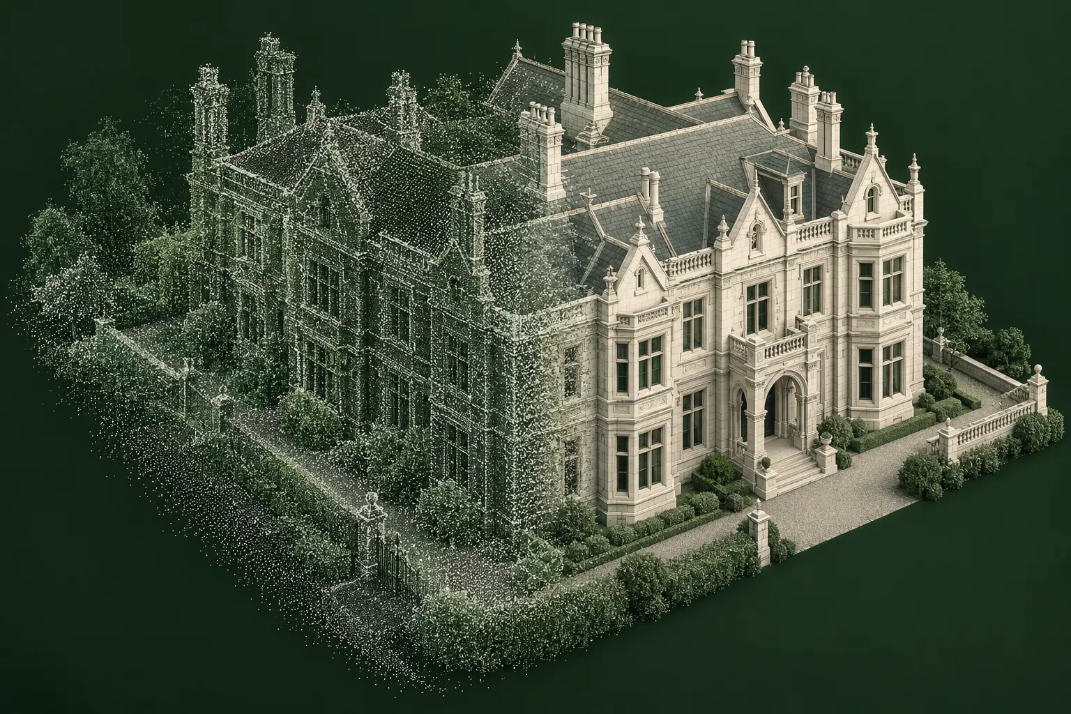
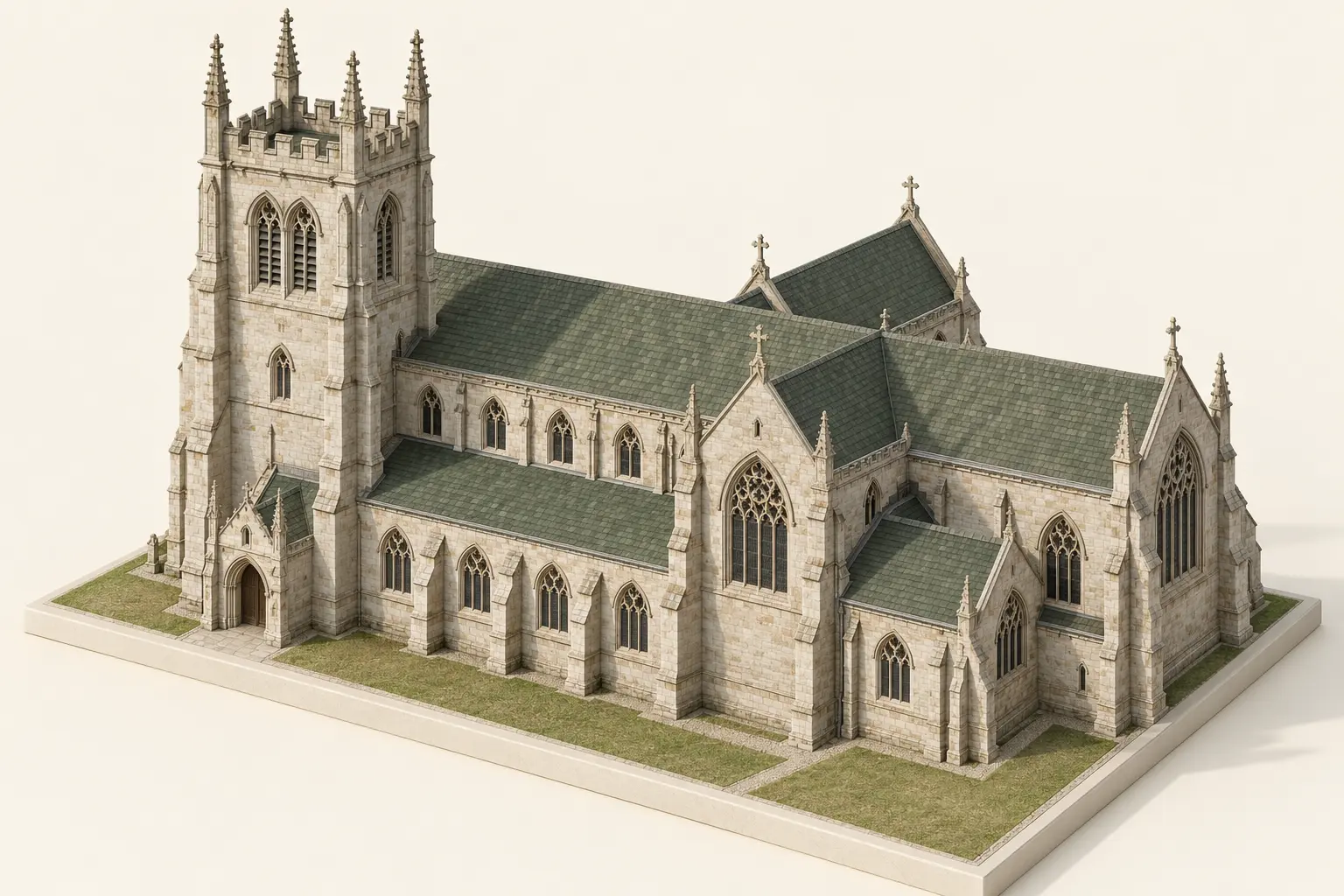
Illustrative anonymised technical visualisation.
Typical project inputs
Registered survey data and an agreed drawing brief.
Client-supplied registered point cloud
Measured survey information
Survey-control or coordinate information where available
Existing reference drawings
Required plan, elevation and section locations
Drawing extent and required detail
Layering or drawing standards
Scale and output requirements
Intended project use
What we do
Interpret survey information and prepare structured CAD drawings.
Review the point cloud and supporting information
Confirm drawing types, extents and required detail
Establish levels, grids and coordinate references
Draft agreed plans, elevations and sections
Organise layers and drawing information
Coordinate related drawing views
Check drawings against the survey source
Record gaps, occlusions and agreed assumptions
Outputs & deliverables
Clear two-dimensional drawings ready for the agreed workflow.
The final drawing set is defined around the intended project use, avoiding unnecessary information while retaining the required measured detail.
Survey-based floor plans
External or internal elevations as agreed
Building sections at agreed locations
Coordinated levels, grids and references
Structured layers and drawing information
DWG/CAD deliverables
PDF review or issue drawings
Agreed native or exchange formats
Recorded source-data limitations where relevant
Workflow
A controlled route from registered survey data to CAD drawings.
Review the informationCheck the supplied point cloud, supporting drawings and project brief.
Agree the drawing scopeConfirm plans, elevations, sections, extent, detail and output requirements.
Establish referencesWork with the supplied coordinates, levels, grids and project origin.
Draft the drawingsInterpret the survey data and prepare the agreed two-dimensional views.
Coordinate and checkReview related views against the source and record relevant limitations.
Prepare deliveryIssue the completed CAD and PDF outputs in the agreed format.
Technical considerations
Drawing reliability depends on the supplied survey information.
Point-cloud registration and completeness
Survey coordinates, levels and project origin
Required drawing scale and detail
Scan density, noise and occluded areas
Conflicts between survey data and reference drawings
Cut-plane and section-location requirements
Layering, annotation and drawing standards
Intended downstream use and file compatibility
The drawings are prepared from survey information supplied by the client or their appointed survey provider. CAD Services Studio does not certify or assume responsibility for the accuracy of third-party survey data. On-site scanning is referenced only as previous professional experience.
Related case study · Project 02
Complex Heritage Geometry
Terrestrial and drone survey information interpreted to resolve difficult architectural geometry and support accurate downstream modelling.
The agreed scope may include two-dimensional plans, elevations and sections drafted from client-supplied registered point-cloud and supporting survey information.
Is Scan to CAD the same as Point Cloud to 3D Modelling?
No. Scan to CAD focuses on two-dimensional CAD drawings, while Point Cloud to 3D Modelling produces coordinated three-dimensional geometry.
Does the point cloud need to be registered?
The service normally begins with client-supplied registered survey data. Coordinate, level and registration information should be included with the project brief where available.
How are drawing detail and output standards agreed?
Drawing type, scale, extent, layering, reference system and intended use are agreed before production begins.
What happens where survey data is obscured or incomplete?
Gaps and occlusions are identified during review. Any agreed assumptions or supplementary information used to resolve them are recorded rather than presented as directly measured information.
Does CAD Services Studio carry out the laser scan?
The current service begins with registered survey information supplied by the client or their appointed survey provider. On-site scanning is referenced only as previous professional experience.